![]()
![]()
![]()
![]()
![]()
![]()
![]()
![]()
![]()
![]()
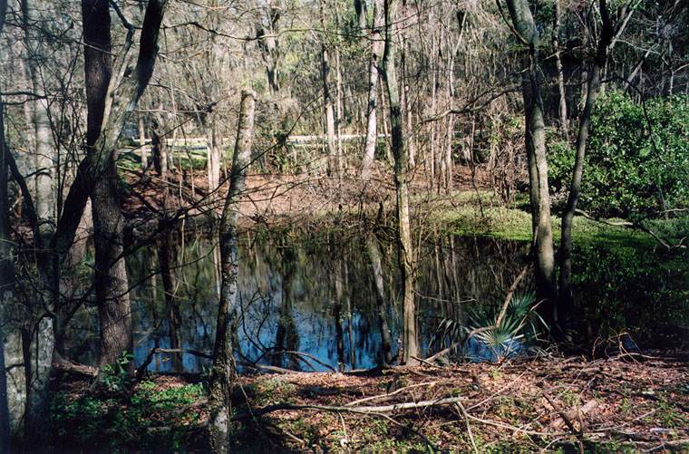 |
This picture shows the usual level of Sinkhole Pond.
14 Feb 1998 |
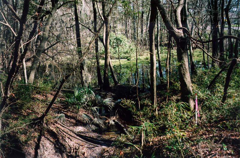 |
Sinkhole Pond drains westward via this outlet into a sink. This view is eastward (from the sink toward the pond). 14 Feb 1998 |
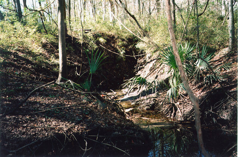 |
During times of average flow, the water immediately disappears into the sink. This view is from the pond into the sink. 14 Feb 1998 |
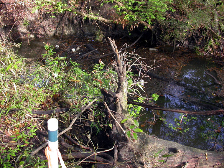 |
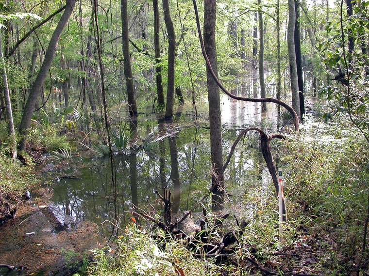
After minor storm events, such as the two-inch rain of 9 Mar 2003, the sink's capacity is exceeded and water backs up, raising the level of the pond. This picture shows the flooded sink as viewed from the high ground on its south edge. In the foreground is grid stake K-12 (map showing NATL's grid system).
10 Mar 2003 |
 |
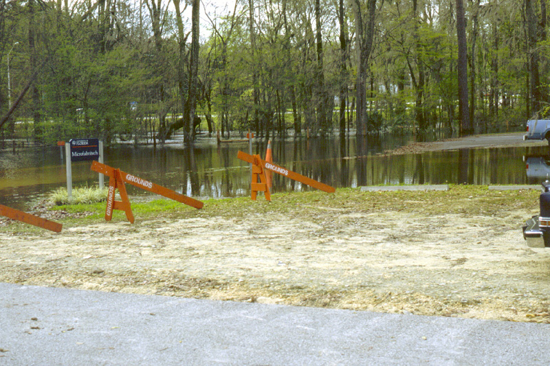
Sinkhole Pond after minor storm event. This view is from the high ground at the sink.
10 Mar 2003 |
 |
After major storm events, such as the one in late February 1998, Sinkhole Pond floods surrounding areas. This picture, from Surge Area Drive on the north side of the pond, shows Archer Road in the background and the nearly-submerged NATL boundary fence where the trees begin.
24 Feb 1998 |
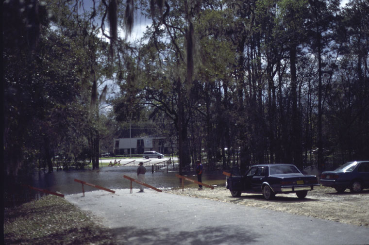 |
During this event, Surge Area Drive was closed to traffic for several days.
24 Feb 1998 |