![]()
![]()
![]()
![]()
![]()
![]()
![]()
![]()
![]()
![]()
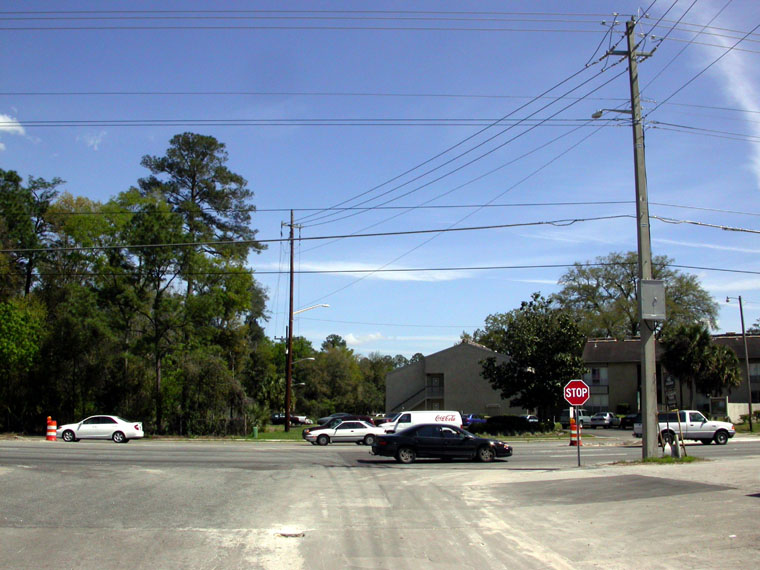 |
Looking eastward toward NATL from the junction of the present SW 24th Avenue and SW 34th Street. The alignment of the proposed extension will veer slightly northward to allow its entire right-of-way to come from NATL and to avoid Regency Oaks Apartments. |
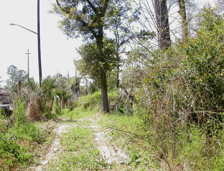 |
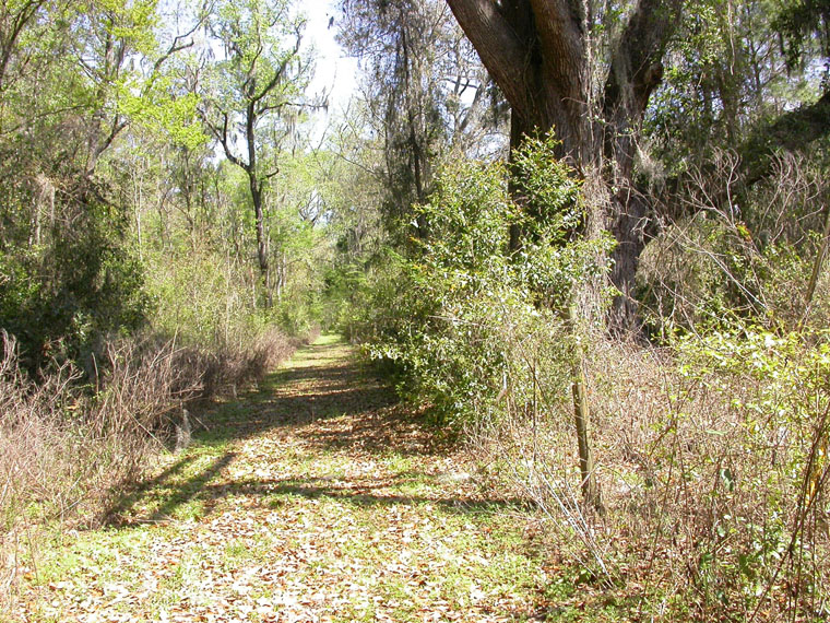
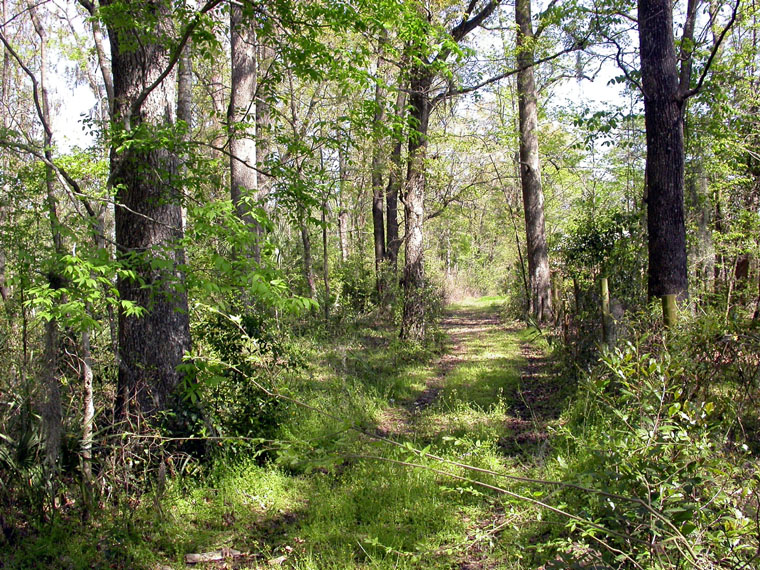
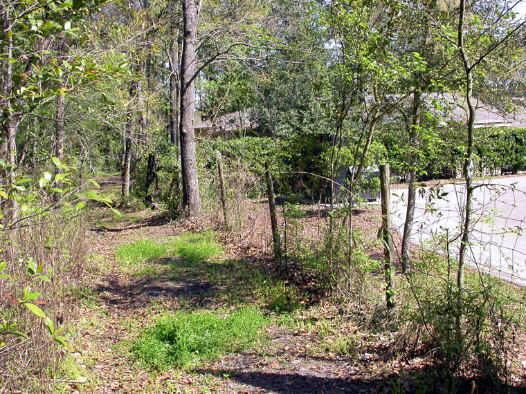
Looking westward from near the west end of South Trail. The large laurel oak (mid picture) marks the south end of NATL's 34th Street Trail, which runs along the base of a 7-foot-high earthen berm. In this image, the berm hides 34th Street from view except at extreme left where it can be seen across the Regency Oaks property. Just east of the 34th Street Trail and within the proposed right-of-way are two noteworthy longleaf pines. Note: The University of Florida built the berm to shield NATL from some of the impact of 34th Street traffic. |
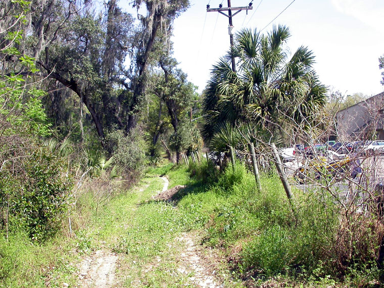 |
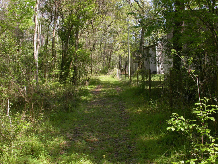
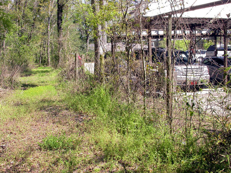
[From now on you will be facing eastward as you continue your walk.] View from near the west end of South Trail. Several live oaks can be seen on the left along the Trail. On the other side of the boundary fence is parking for Regency Oaks Apartments. |
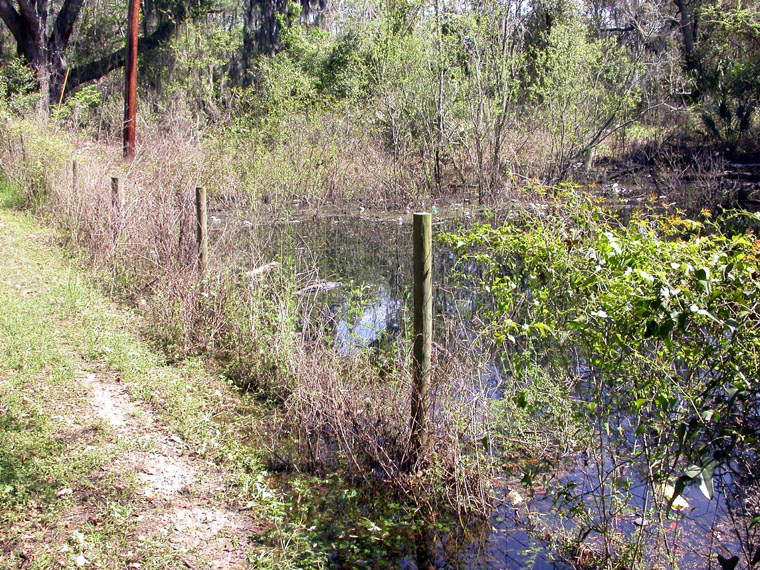 |
Just beyond the Regency Oaks parking lot is a sink that drains a sizeable watershed, including retention ponds for Regency Oaks Apartments, Archer Woods Apartments, and commercial property along Archer Road. This sink also receives storm water from nearly all of the proposed right-of-way through NATL. |
 |
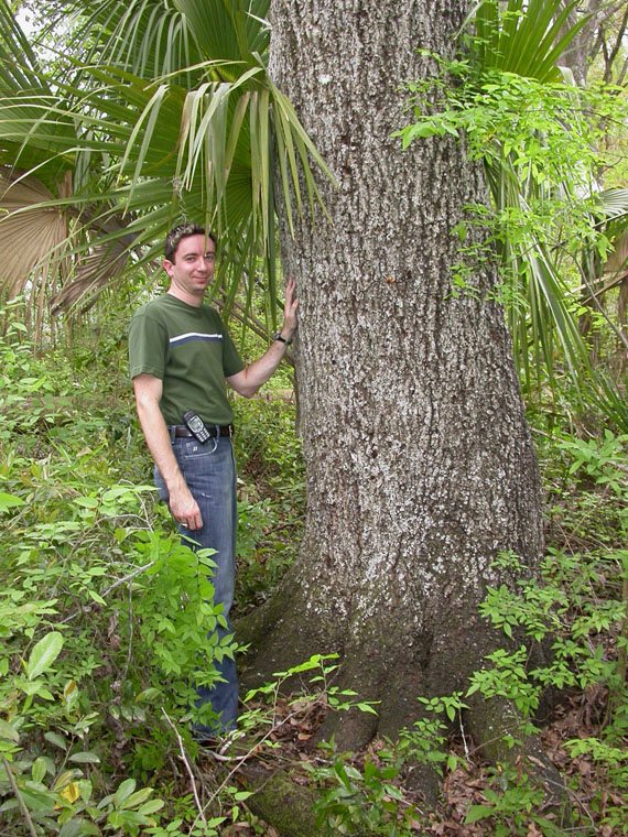
Immediately beyond the sink and with only root buttresses on UF property is a live oak whose trunk has a diameter of five feet. Should the road be built, surely this tree can be saved; however, many others will be sacrificed (see tree list). |
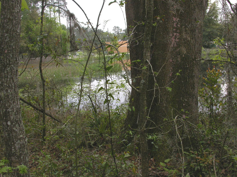 |
Between Regency Oaks and Archer Woods Apartments is a retention pond of about 2 acres that serves Archer Woods and commercial property along Archer Road. Its overflow goes to the sink at Regency Oaks. |
 |
Large sweet gum at the west corner of Archer Woods Apartments. The northern 6 inches of this 37-inch-diameter tree is within the proposed right of way. At least ten sweet gums that are entirely within the right-of-way are 18 or more inches in diameter (see tree list). |
 |
Two sweet gums (24 and 23 inches in diameter)about midway of Archer Woods Apartments. |
 |
East portion of Archer Woods Apartments. Several building are within 20 ft. of the proposed right-of-way. The closest is about 14 ft. |
 |
A cluster of large hickories near the eastern extreme of Archer Woods Apartments. Starting with the foreground tree, the diameters are 25, 26, 15, 22, and 22 inches. Seventeen hickories that are 18 inches or more in diameter are within the right-of-way. The largest is 29 inches. |
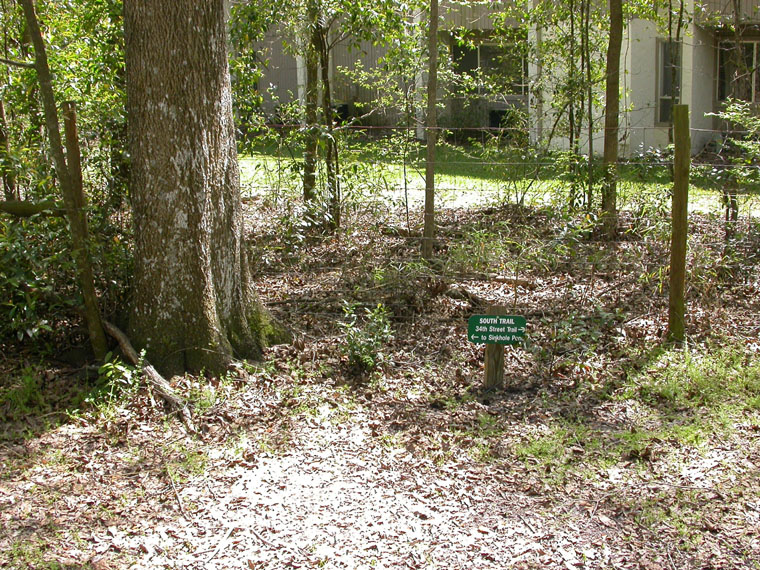 |
Sign where NATL's East Trail ends at South Trail. The sign points to Sinkhole Pond to the left and 34th Street Trail to the right. The tree is the most distant of the 22-inch-dia. hickories in the previous picture. |
 |
A bifurcate 22-inch-dia. hickory near where the Classic Carwash property begins and where the proposed extension is planned to turn south to Archer Road. |
 |
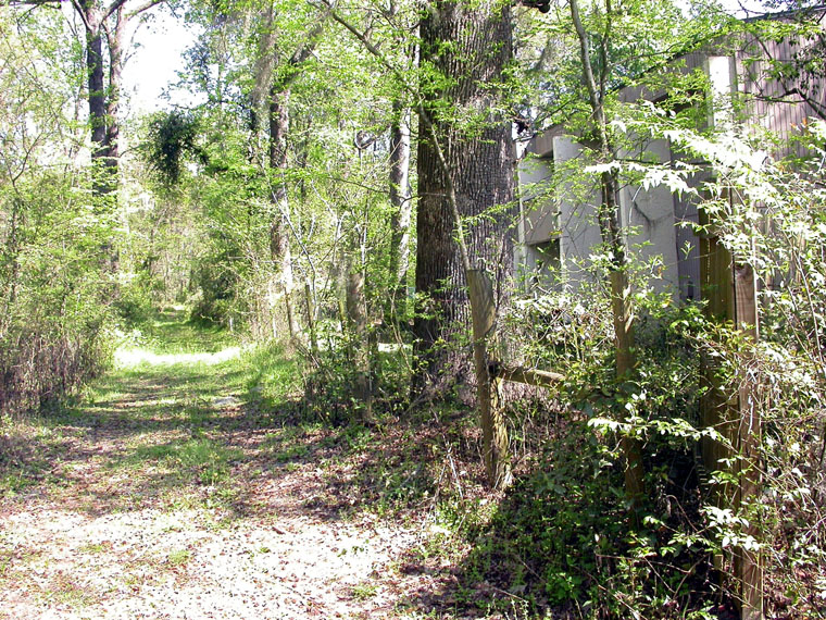
It won't matter if the road is built, but the two sweet gum trunks in the middle of the picture (14 and 15 in. dia, from a single base) are on UF property. Classic Carwash was built several feet onto UF property prior to the resolution of a boundary dispute! |
 |
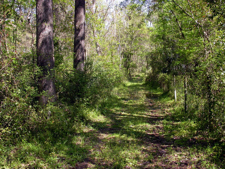
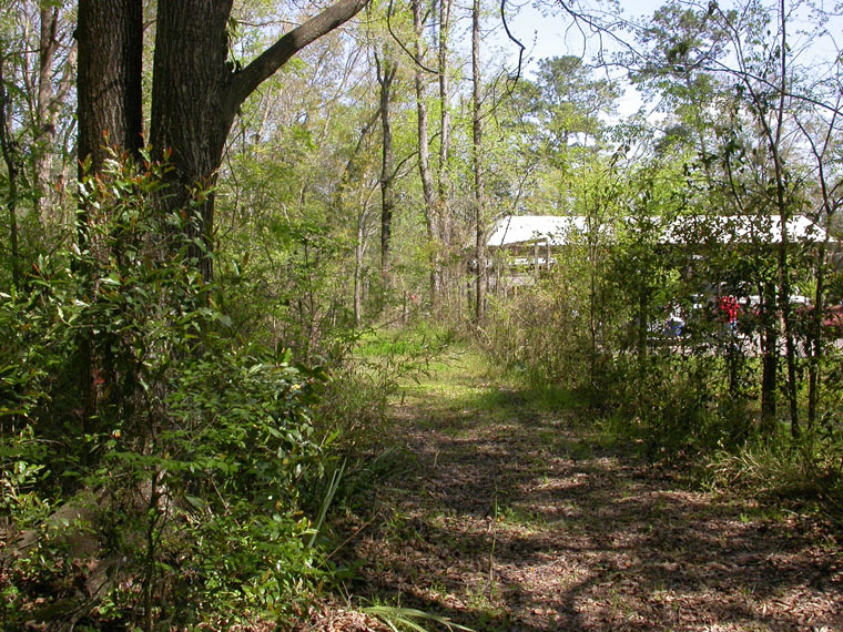
Finally South Trail leaves the proposed right-of-way only to end at NATL's sink and Sinkhole Pond about 200 ft. to the east. The proposed extension will isolate the main body of NATL from its only permanent water and its only secure corridor to UF's Preservation Area 2. |