Soils (all ecosystems)
Soils are an important component of all terrestrial ecosystems. The three soil maps below depict what is known of NATL soils.
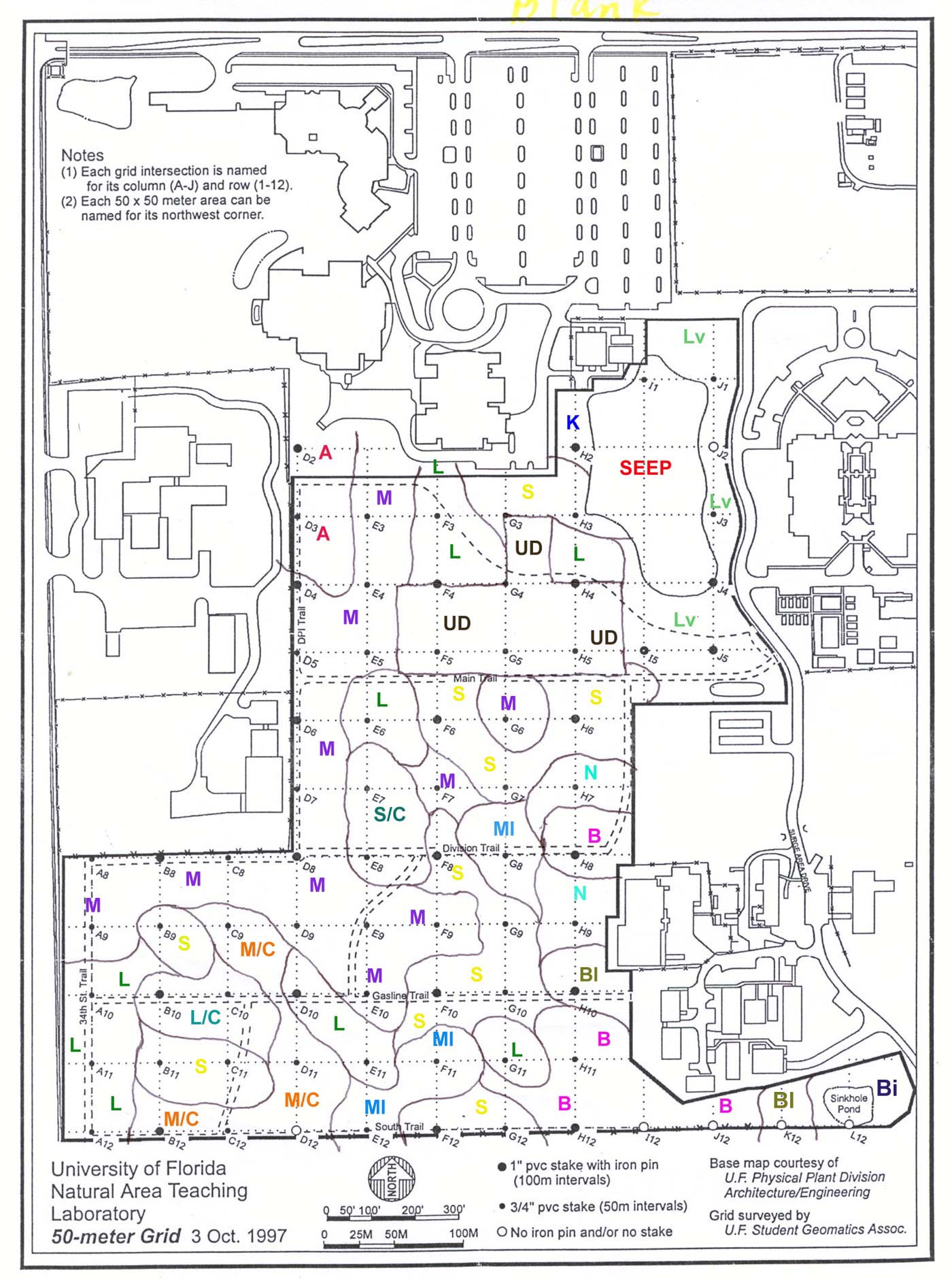
The soil map at right was created by Dr. Mary E. Collins in 2000 as part of a project by the Soil and Water Science Department to survey the soils of NATL. The results of the project were summarized in a 115-page preliminary report. Its title page, soil map, and summary are posted separately here. (No subsequent report of this project is expected. The map includes only NATL-west because NATL did not acquire NATL-east until 2005.) |
 |
|---|---|
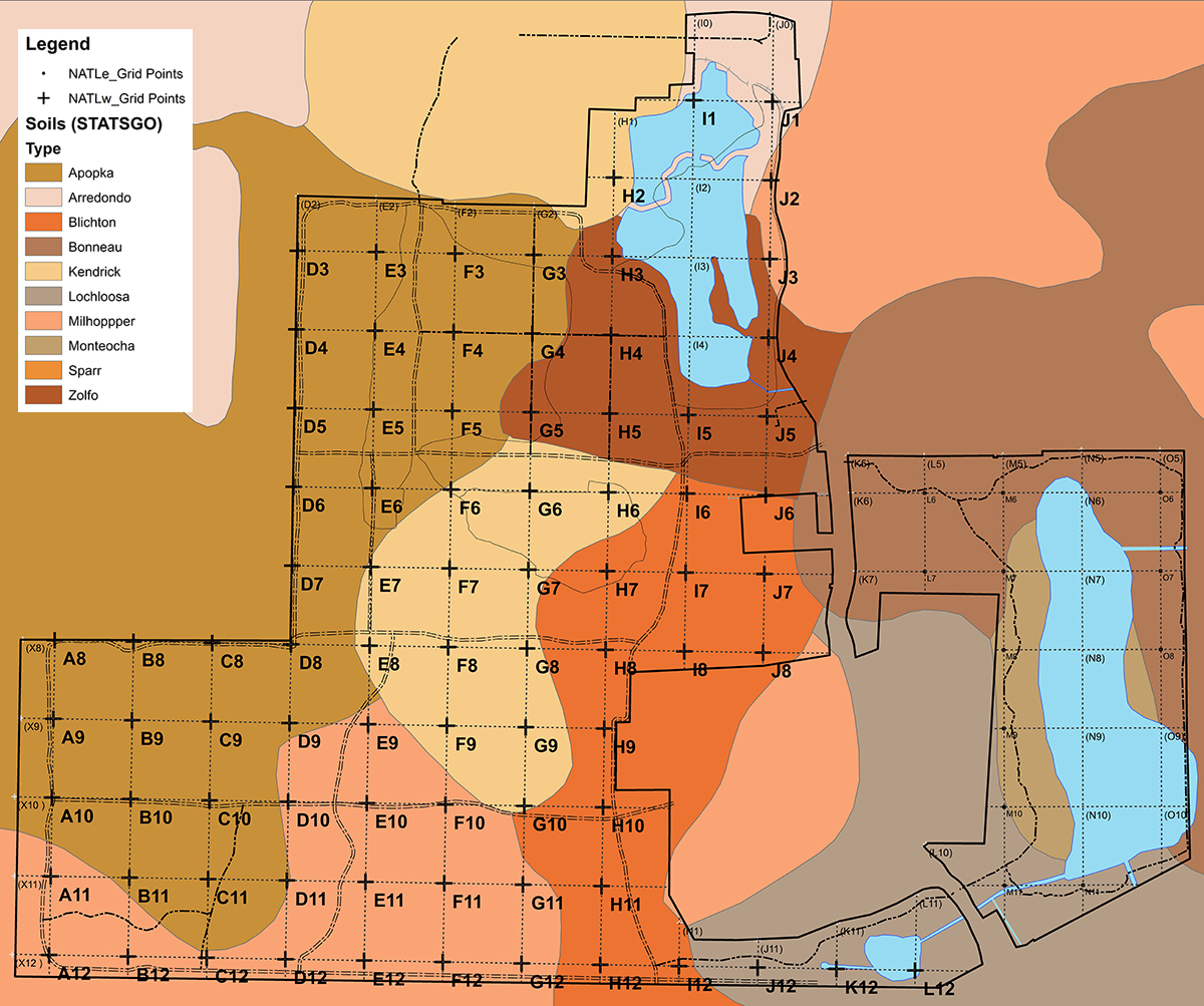 |
Map of NATL (left) showing soil type as described by the Natural Resources Conservation Service's State Soil Geographic (STATSGO) Database, which is maintained by the United States Department of Agriculture (USDA). (This map is 1 of 18 layers in NATL's GIS map.) |
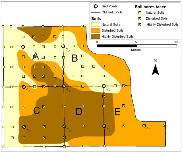
Map (right) of the soils in NATL's Old-Field Plots. The initial version of this map was based on soil cores taken under a contract with Ron Kuehl in 2007. The pattern of soil types in Old Field Plot A was subsequently refined from additional cores taken in 2008 and 2013. Details are at Soils of Old-Field Plots. |
 |