| UF Academic Use | Public Use | Family Fun and K-12 Education |

NATL Maps: Favorites to view or print
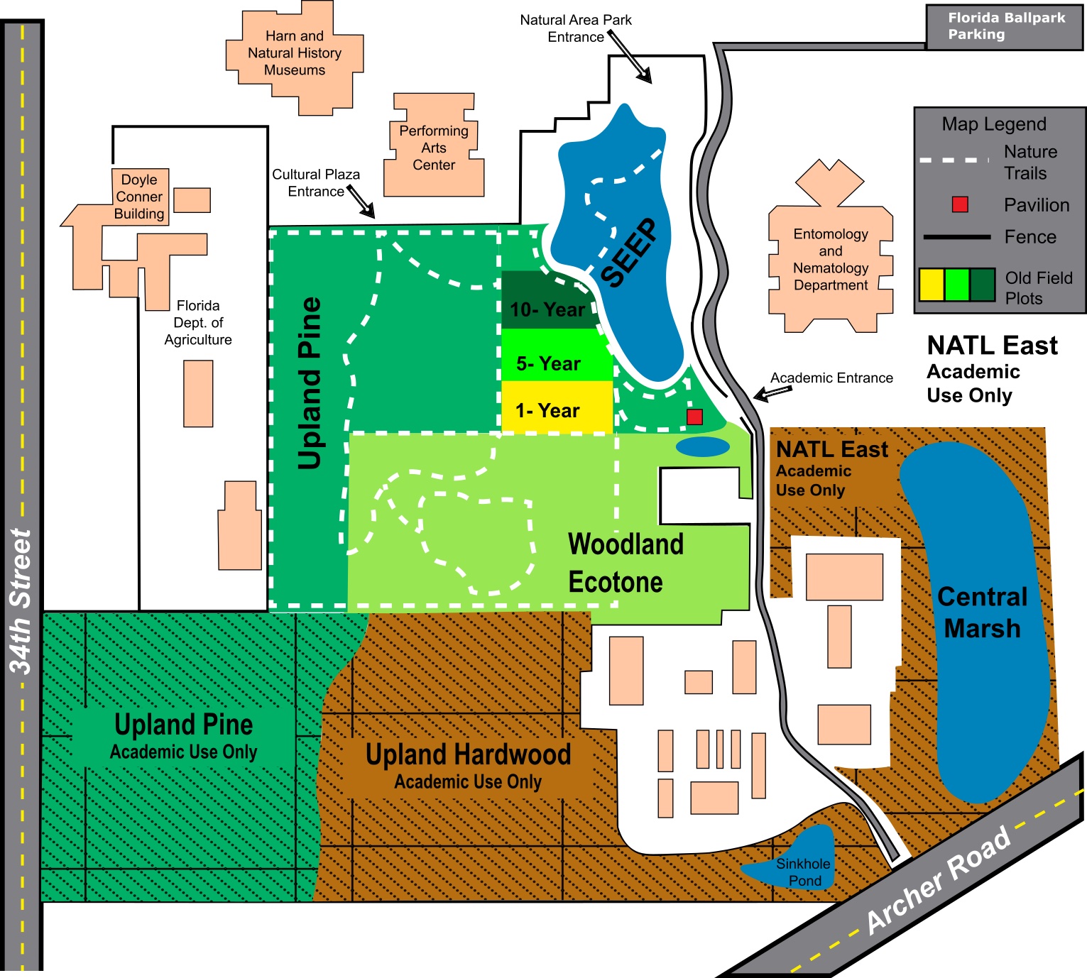
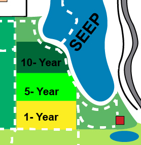
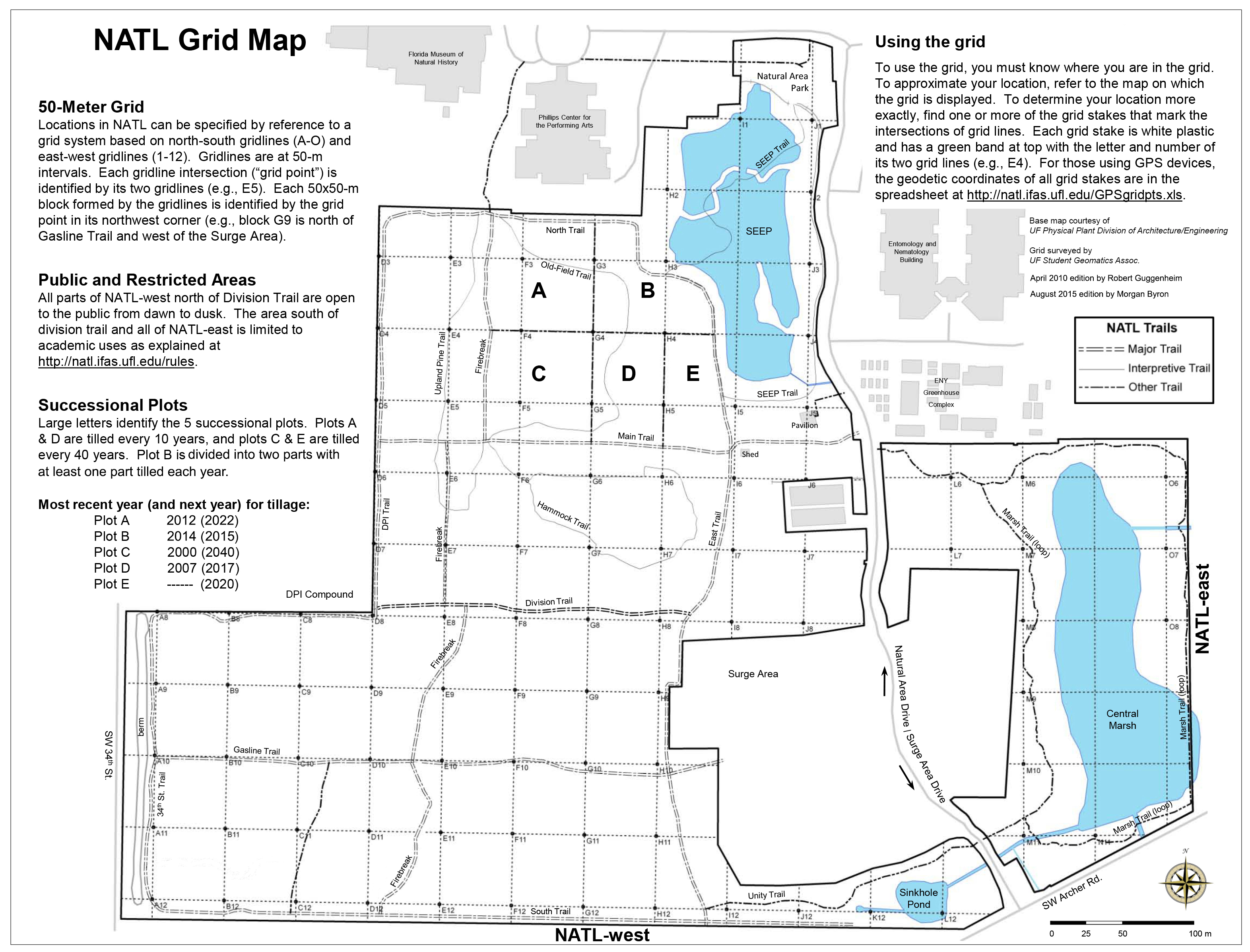
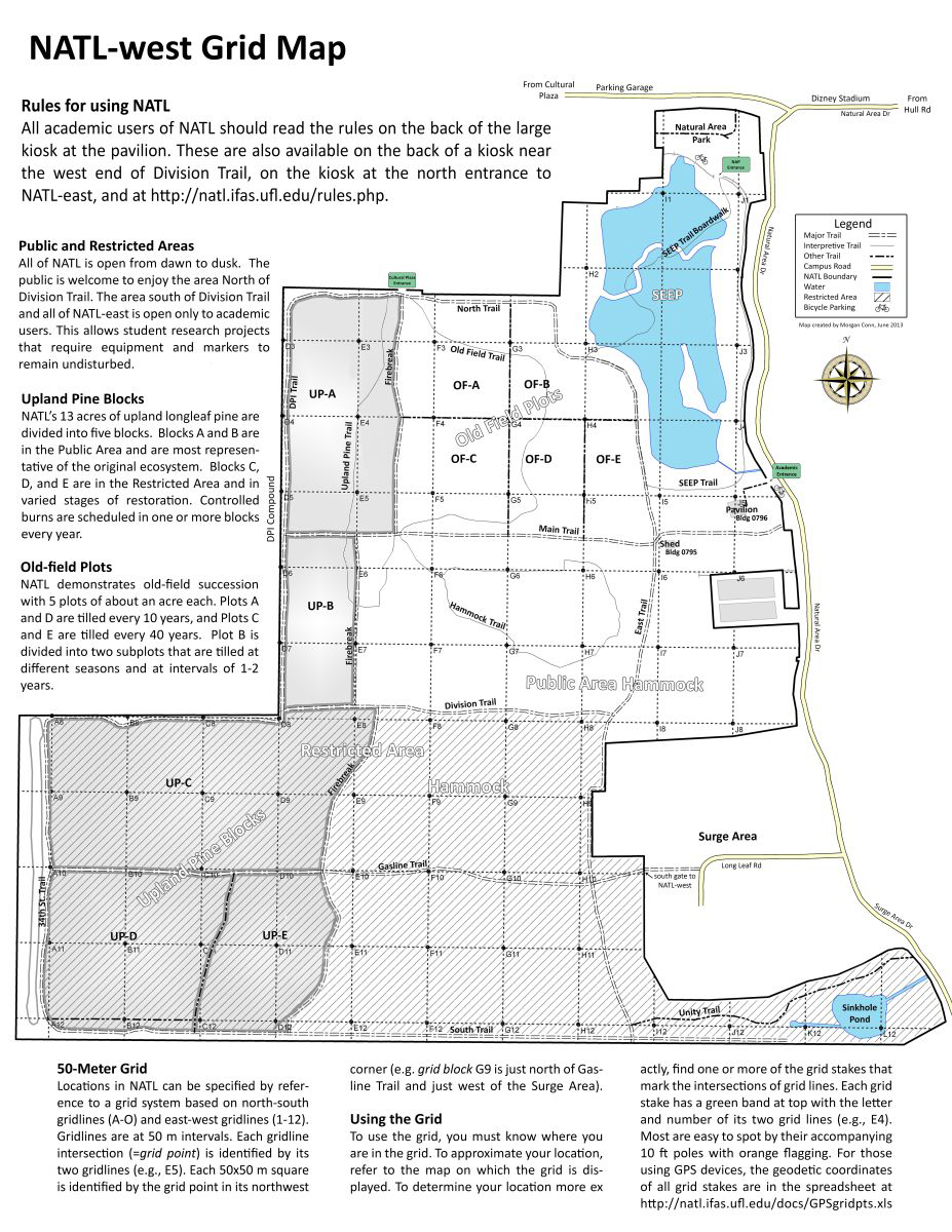
These five maps are of particular interest to visitors to NATL. Clicking on each map will present a larger version, which may be viewed, printed, or saved.
NATL Land Use Map |
Old Field Plots |
GIS-based NATL Grid Map |
NATL-west Grid Map |
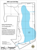
NATL-east Grid Map |

